
Omni3 does not provide planning advice or legal planning opinions. This article is for general information only. Planning rules can change. Homeowners should confirm the current position with the relevant planning authority before proceeding. Last reviewed: August 2026.
A genuinely split planning situation
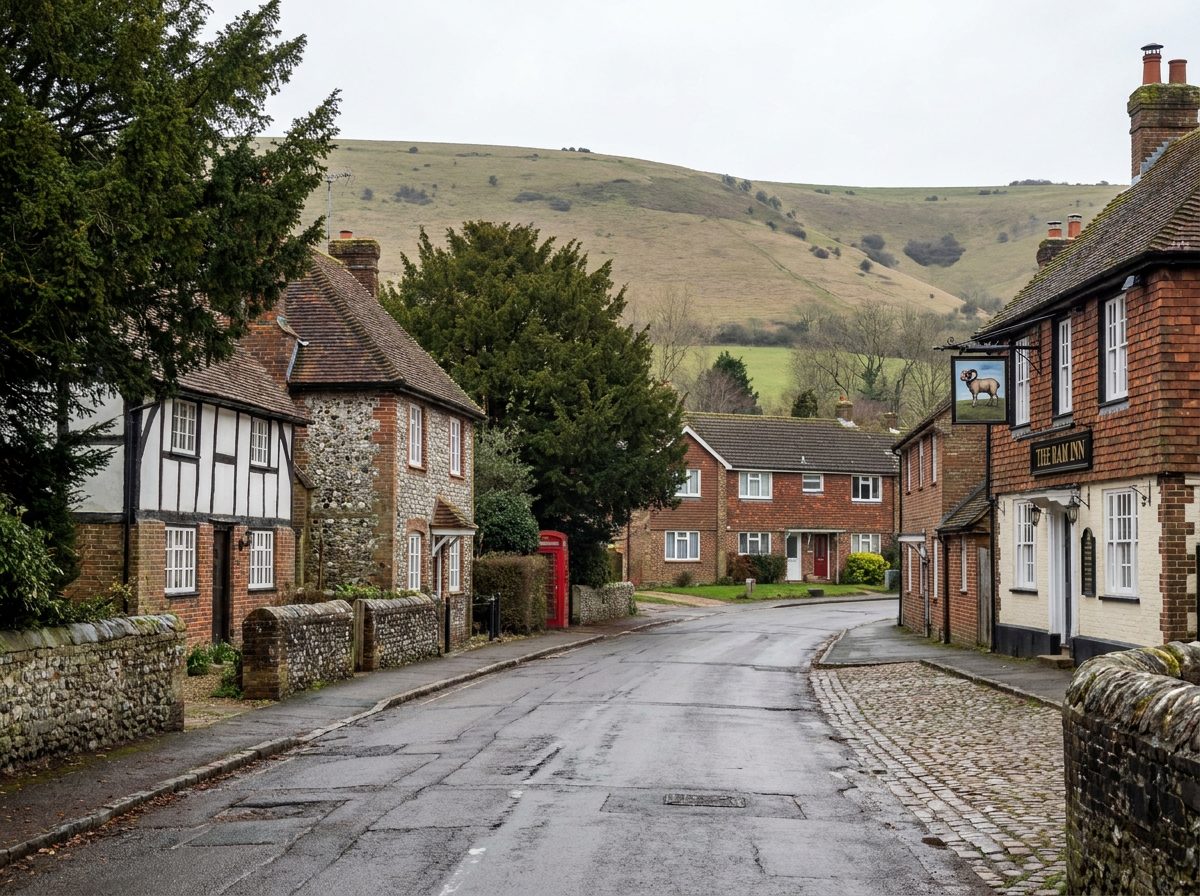
Storrington has a conservation area, and the village sits at the edge of the South Downs National Park. The critical fact is this: the South Downs National Park boundary runs to the southern edge of the Storrington Conservation Area. Land to the south of the conservation area falls within the National Park.
Two properties in close proximity — or even on the same road — can be subject to entirely different planning authorities and entirely different rules. A property within the Storrington Conservation Area falls under Horsham District Council. A property south of the conservation area, within the National Park boundary, falls under the South Downs National Park Authority (SDNPA). The only reliable way to know is to check the specific property address against both planning authority boundaries.
How to check which authority covers your property
Two mapping tools will give you a definitive answer:
- –Horsham District Council — horsham.gov.uk — use the interactive planning map to check whether your address falls within Horsham's planning area and whether it is within the conservation area.
- –South Downs National Park Authority — southdowns.gov.uk — use the SDNPA's interactive map to check whether your address falls within the National Park boundary.
Do not assume from a neighbour's installation, from your postcode, or from the general character of your road which authority applies. Properties in close proximity can fall under different authorities. The check takes a few minutes and removes all ambiguity.
If your property is within the Storrington Conservation Area (Horsham District Council)
The Storrington Conservation Area falls within Horsham District Council's planning area. Properties within it are subject to Article 2(3) restrictions under the General Permitted Development Order 2015.
The key restriction: solar panels on the principal elevation of a dwelling fronting a highway are not permitted development within the conservation area. Planning permission from Horsham District Council is required for those panels. Panels on rear and side elevations that do not front a highway may still fall within Class A permitted development, subject to the standard conditions. For flat-roofed properties within the conservation area, prior approval is required for Class A solar installations regardless of elevation. For listed buildings within the conservation area, both planning permission and listed building consent are required.
If your property is south of the conservation area (South Downs National Park Authority)
For properties south of the Storrington Conservation Area that fall within the National Park boundary, the SDNPA is the planning authority and National Park rules apply.
The South Downs National Park is Article 2(3) land throughout its extent. Solar panels on the principal elevation of a dwelling fronting a highway are not permitted development anywhere in the National Park. Planning permission from the SDNPA is required for those panels. The SDNPA published a Technical Advice Note on Small Scale Renewable Energy in December 2025, which sets out the authority's approach. Rear-elevation installations on unlisted properties may still fall within permitted development in the National Park, subject to standard conditions.
Do not rely on a neighbour's installation
A neighbour's solar installation is not evidence that your own installation would be treated in the same way. Even on the same road, properties can fall under different planning authorities. Even within the same planning authority area, differences in building type, roof configuration, and elevation orientation can produce different outcomes. What was permitted development for one property may require planning permission for another.
The character of Storrington and what it means for design
Storrington has a mix of older cottages and vernacular buildings, Victorian and Edwardian housing, and more recent residential development. For properties where planning permission is required — whether within the conservation area under Horsham rules, or within the National Park under SDNPA rules — the design of the installation will be assessed against its impact on this character. Rear-slope panels, in-roof systems, sympathetic panel specifications, and unobtrusive equipment placement will all be factors. Outbuildings, garages, and barns can sometimes offer a useful alternative location, reducing visual impact while maintaining a practical array size.
How Omni3 can help
Omni3 works across Storrington and the surrounding area, including properties in both Horsham District and the South Downs National Park. We understand the planning split at the southern edge of the village and work with homeowners to design installations that suit both the property and the planning context. We can provide technical drawings and specifications for planning applications, discuss design options to minimise visual impact, and carry out installations once the planning position is confirmed. We do not provide planning advice. Contact us to discuss your project.
Frequently Asked Questions
Is Storrington in the South Downs National Park?
Part of the area around Storrington is within the South Downs National Park, and part is not. The National Park boundary runs to the southern edge of the Storrington Conservation Area. Land south of the conservation area is within the National Park; land within the conservation area and the main village is generally within Horsham District. This is a genuine split, and individual properties in close proximity can fall under different planning authorities. Check your specific address using the mapping tools at southdowns.gov.uk and horsham.gov.uk.
Which planning authority covers my Storrington property?
The only reliable answer is to check your specific property address using both planning authority mapping tools: Horsham District Council (horsham.gov.uk) and the South Downs National Park Authority (southdowns.gov.uk). Properties within the Storrington Conservation Area are generally within Horsham District. Properties south of the conservation area are generally within the National Park. Do not rely on postcodes, estate agent descriptions, or neighbouring properties to determine this.
Do I need planning permission for solar in the Storrington conservation area?
For installations on the principal elevation of a dwelling fronting a highway, yes — planning permission from Horsham District Council is required. Article 2(3) restrictions apply throughout the conservation area. For rear and side elevations that do not front a highway, Class A permitted development rights may still apply, subject to standard conditions. For listed buildings within the conservation area, both planning permission and listed building consent are required regardless of panel position.
What about properties on the southern edge of Storrington towards the Downs?
Properties on the southern edge of the village, towards the open countryside and the Downs, may be within the South Downs National Park. For these properties, the SDNPA is the planning authority and National Park rules apply, including the restriction on principal elevation solar fronting a highway. An individual property check using the SDNPA's interactive map is essential.
Does Omni3 install solar in Storrington?
Yes. Omni3 works across Storrington and the surrounding area, including properties in both Horsham District and the South Downs National Park. We are familiar with the planning split at the southern edge of the village and can help you understand the options for your specific property. We do not provide planning advice, but we can design and install a system once the planning position is established.